Notes from walking the city: why the route can matter as much as the place we are trying to reach.
A different kind of survey
A walk records things that a map leaves out. The sheltered side of a street, a step used as a seat and a crossing people avoid all describe how public space actually works. These observations are small, but together they form a useful brief.
When we study a waterfront, we pay attention to the routes that connect it to daily life. A destination can be beautifully designed and still feel remote if the journey to it is difficult or unclear.
“A city is understood at the speed of a walk.”
Places to pause
Public space needs room for people who are not moving through it. A ledge, a bench with a back and a patch of shade support different bodies and different lengths of stay. Their placement matters as much as their design.
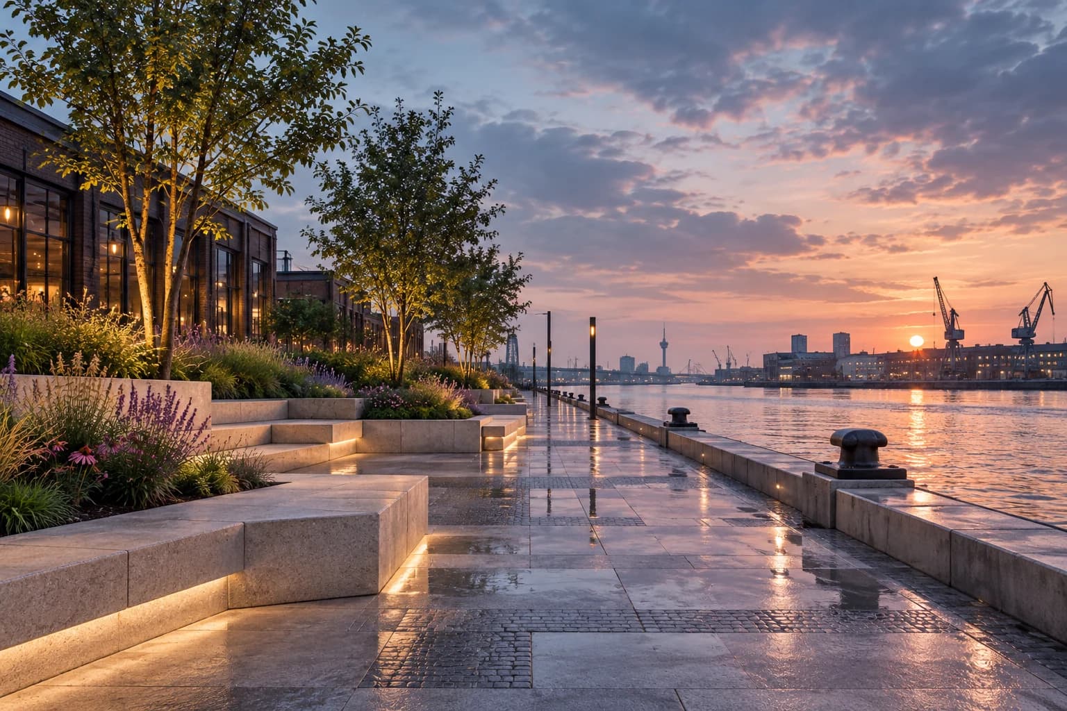
At Harbour Commons, the proposal distributes these moments along a continuous route. The waterfront becomes a sequence of ordinary places rather than a single formal square.
Designing for another season
A pleasant summer afternoon is only one test of a public place. Wind, rain, darkness and maintenance shape its use through the rest of the year. The design needs to work when the photograph is less flattering.
We return to the same streets at different times. That repetition helps distinguish a memorable image from a place that is consistently useful.